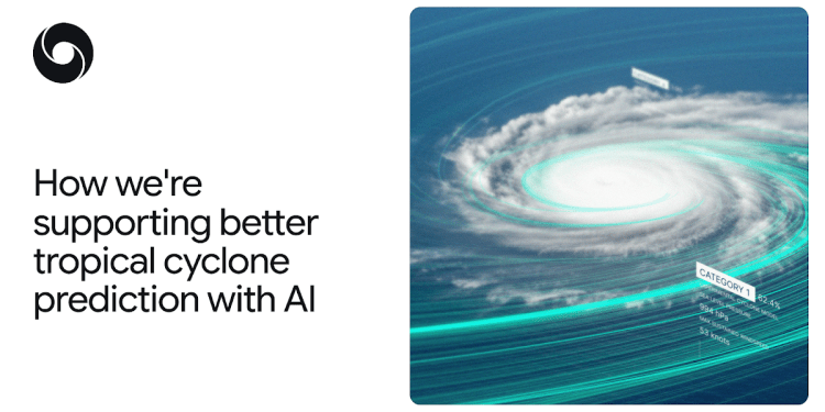
Weather Lab users can explore and compare the predictions from various AI and physics-based models. When read together, these predictions can help weather agencies and emergency service experts better anticipate a cyclone’s path and intensity. This could help experts and decision-makers better prepare for different scenarios, share news of risks involved and support decisions to manage a cyclone’s impact.
It’s important to emphasise that Weather Lab is a research tool. Live predictions shown are generated by models still under development and are not official warnings. Please keep this in mind when using the tool, including to support decisions based on predictions generated by Weather Lab. For official weather forecasts and warnings, refer to your local meteorological agency or national weather service.
AI-powered cyclone predictions
In physics-based cyclone prediction, the approximations required to meet operational demands mean it’s difficult for a single model to excel at predicting both a cyclone’s track and its intensity. This is because a cyclone’s track is governed by vast atmospheric steering currents, whereas a cyclone’s intensity depends on complex turbulent processes within and around its compact core. Global, low-resolution models perform best at predicting cyclone tracks, but don’t capture the fine-scale processes dictating cyclone intensity, which is why regional, high-resolution models are needed.
Our experimental cyclone model is a single system that overcomes this trade-off, with our internal evaluations showing state-of-the-art accuracy for both cyclone track and intensity. It’s trained to model two distinct types of data: a vast reanalysis dataset that reconstructs past weather over the entire Earth from millions of observations, and a specialized database containing key information about the track, intensity, size and wind radii of nearly 5,000 observed cyclones from the past 45 years.
Modeling the analysis data and cyclone data together greatly improves cyclone prediction capabilities. For example, our initial evaluations of NHC’s observed hurricane data, on test years 2023 and 2024, in the North Atlantic and East Pacific basins, showed that our model’s 5-day cyclone track prediction is, on average, 140 km closer to the true cyclone location than ENS — the leading global physics-based ensemble model from ECMWF. This is comparable to the accuracy of ENS’s 3.5-day predictions — a 1.5-day improvement that has typically taken over a decade to achieve.
While previous AI weather models have struggled to calculate cyclone intensity, our experimental cyclone model outperformed the average intensity error of the National Oceanic and Atmospheric Administration (NOAA)’s Hurricane Analysis and Forecast System (HAFS), a leading regional, high-resolution physics-based model. Preliminary tests also show our model’s predictions of size and wind radii are comparable with physics-based baselines.
Here we visualize track and intensity prediction errors, and show evaluation results of our experimental cyclone model’s average performance up to five days in advance, compared to ENS and HAFS.
Source link
#supporting #tropical #cyclone #prediction


